Flinders Peak Area – Day Excursion, Wednesday 12 August (Show Day Holiday)
DATE & TIME
- 12 August 2026
- 8am arrival for 830am departure
- This event commences in:
EXCURSION LEADER
- David Bouchard (Contact details will be provided after on-line registration)
LOCATION
- Flinders Plum picnic ground, Flinders Peak (Burrumpah) Conservation Reserve
Introduction
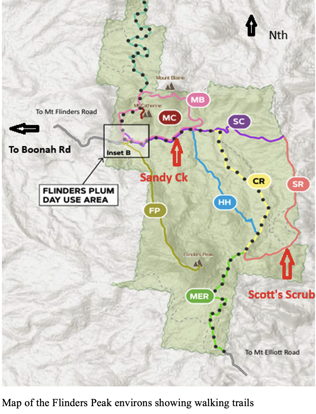
This excursion will be to the Flinders Peak (Burrumpah) Conservation Reserve, administered by the Ipswich City Council. The area takes in the divide between the Bremer River in the West, the Logan River in the East and also the headwaters of Oxley Creek. It is quite mountainous with numerous volcanic remnants such as Flinders Peak, Mt Blaine, Mt Elliott, and Ivory’s Rock forming a scenic backdrop.
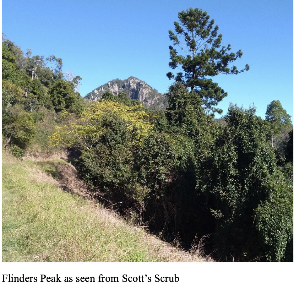
Slopes and ridges support dry sclerophyll forest, with gum-topped box being a dominant tree and acacias in the understorey. There is still some Hoop Pine vine forest in the valleys, and a larger patch at the headwaters of Sandy Creek called Scott’s Scrub. The endangered Flinders Plum tree Planchonella eerwah can be found in these patches of vine forest. To its credit Ipswich Council has been doing a great job clearing lantana near walking trails and fire breaks.
Proposed Plan
Meet at the picnic shelter near the toilet block at the Flinders Plum picnic ground at 8.30am. From here we will divide into two groups.
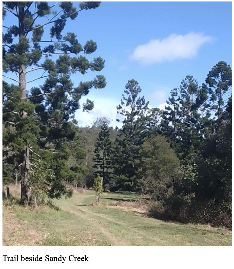
The first group is for those who want to leisurely explore up the trail adjacent to Sandy Creek. There is remnant vine scrub along the creek and many birds were heard on the survey. This group would retrace its steps for a late lunch back at the picnic area. Bring your own water as the water provided at the picnic area is unsuitable for drinking.
The second group is for those who would like a more strenuous walk up to Scott’s Scrub. This is a 9 km return walk with a height gain of 170 metres. David will lead this group and we will have lunch near the “pig trap” on the top of the watershed divide. It is hoped to walk with minimal stops, so we can spend as much time as possible naturalising at the Scrub. Please bring bushwalking gear i.e. suitable footwear, first aid kit, walking pole, lunch and water.
For both groups bring a raincoat if the weather is uncertain.
Getting There
From the Cunningham Highway turn left onto the Ipswich – Boonah Rd and travel about 13km, then turn left into Mount Flinders Rd. This road becomes unsealed after 3km and continue to the end to Flinders Plum picnic area. There are 10 marked car parks and plenty of other parking opportunities back along the road.
Coordinates: -27.7937 152.7979 https://maps.app.goo.gl/qr1ubkVoH88ptyYXA
Allow about an hour travelling time from the southern suburbs of Brisbane to Flinders Plum. If anyone needs a lift, please contact the leader or excursion secretary so we can match you with a driver.