Excursion Report – Moreton Island held 19-22 February ’24, Leaders and Report: Greg & Annie Neill
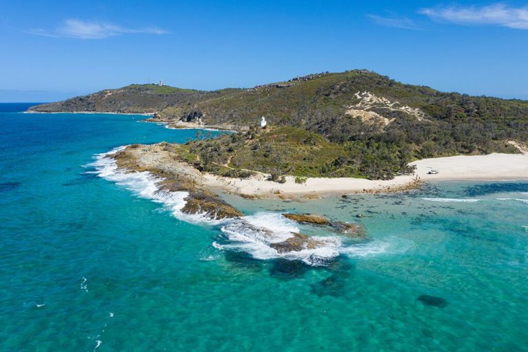
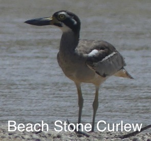
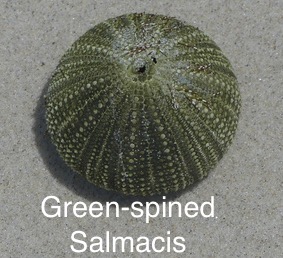
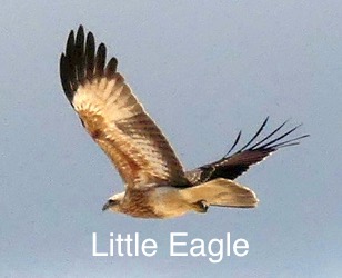
Moreton Island (Mulgumpin) is the third largest sand island in the world and is situated about a 35 km ferry ride from the Port of Brisbane to Tangalooma Resort. The island is approximately 37 km long and 13 km wide at its widest point. The highest point is Mount Tempest (280km). Most of the island is sand with a small section of sandstone and rhyolite. According to WetlandInfo, some 407 species of native animals have been
recorded on and around the island – Qld Govt WetlandInfo while 731 species of native plants have been recorded in the Moreton Bay Islands National Park Native plants of Southern Moreton Bay Islands National Park.
Five QNC members headed off on our own adventure
of discovery to this beautiful and largely pristine
environment. We camped on the northern end of the
island at North Point, near the lighthouse. Our interest
in visiting the Island was sparked by the fact that there
are relatively few observations for Moreton Island
recorded in iNaturalist. On this trip and on previous
surveys we have been able to add quite a number of
species to the lists. QNC has set up a Project in
iNaturalist. Birding checklists are also included below –
just click on the links:
QNC iNaturalist Project Moreton Island
Birding lists QNC Moreton Island Feb 2024
On this excursion we recorded 20 species
for Moreton Island that were new to iNaturalist.
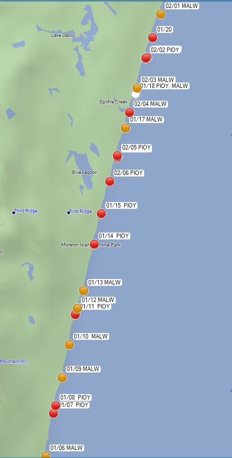
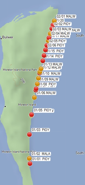
Notes on observations of Australian Pied Oystercatcher Haematopus longirostris and Masked Lapwing Vanellus miles on the Eastern Beach of Moreton Island (Note: click on RHS images to see higher resolution)
On the recent QNC outing on the return journey from Kooringal on a rising tide we recorded with GPS waypoints all the locations, numbers and species of the above 2 birds. There were 26 Pied Oystercatchers in 12 groups. 17 Masked Lapwings in 9 groups., 20 locations in total. We drove slowly past the groups but did not stop and search.
All the Pied Oystercatchers were in pairs other than one group of 4.
Masked Lapwings were also in pairs other than one single bird.
There was one group of 2 Pied Oystercatchers and 2 Masked Lapwings.
Distances between the groups were measured using a simple GIS package. Mean distance between the groups was 940m. Mean distance between the Pied Oystercatcher groups was 1900m and Masked Lapwings was 1750m.
See attached maps of locations, with the majority of sightings from midway to near Cape Moreton.
Red dots for Pied Oystercatchers (PIOY) and yellow dots for Masked Lapwings (MALA), white dot for mixed group. 01/01 is first sighting on first day. 02/01 is first sighting on 2nd day.